Oilarandoi
Return, Loop, Walking


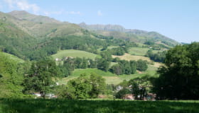
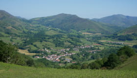
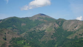
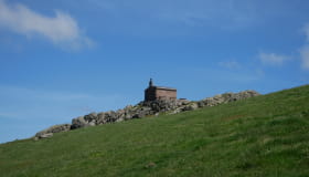
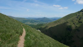
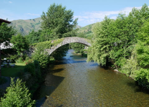
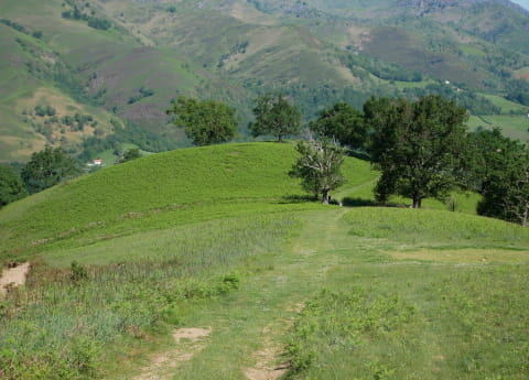
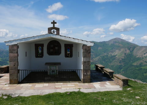
The summit of Oilarandoi catches the eye of the hiker as soon as you walk through the village of Saint-Etienne-de-Baïgorry. To reach it, you have to follow, in part, the route of the famous GR10 (crossing of the Pyrenees). After a stop at the "Roman bridge", the ascent begins in a well-shaded setting. The exit of the forest is marked by spaces colonized by the fern. There is a clear view of the Nive des Aldudes valley and the village of Saint-Etienne-de-Baïgorry. A loop around the summit starts in the middle of meadows and reaches the Aharza pass. The summit of Oilarandoi and its emblematic chapel require a final effort on a straightforward climb from the pass. The loop continues on a path on the eastern side, which highlights the slopes of Munhoa. You will find shade at the foot of a beautiful beech forest before starting the descent to the village.
Documents
Dokumentuak
Informations
Practical
Practical information
-
Start : SAINT-ETIENNE-DE-BAIGORRY
-
Positive elevation : +800m
-
Marking : Yellow
-
Equipements et services : Water point, Power Point (supermarket, restaurants), Ablutions
- Distance13.2km
- Mobilityon foot
- Duration6h
- DifficultyDifficult
Itinerary details
Ibilbideari buruzko xehetasunak