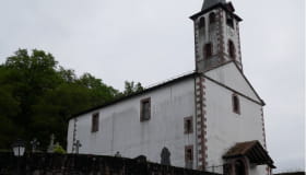
Elizamendi
Loop, Walking


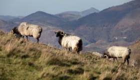
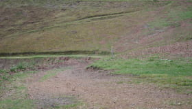
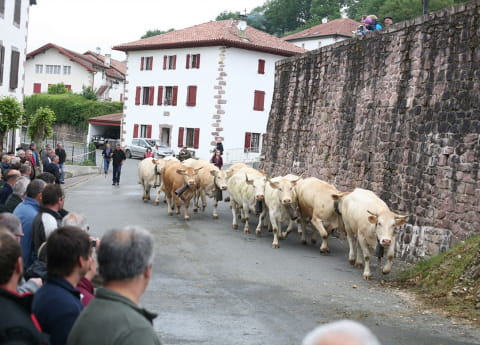
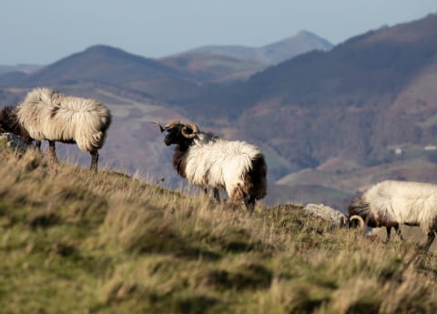
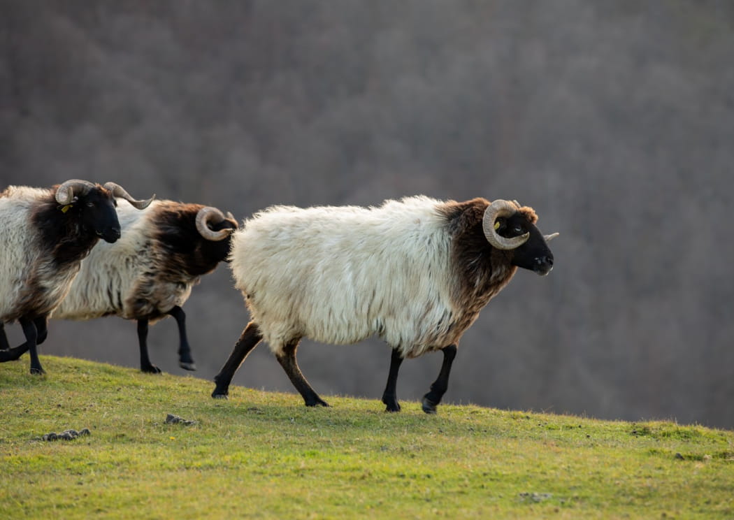
From Urepel, the route starts by following the course of the River Nive des Aldudes to the "Gaineko Karrika" (the upper street). From here, the scenery changes, the slope becomes steeper and beautiful trees appear on the way up. The summit of Elizamendi, a grazing area, reveals the landscape of the valley and of "Kintoa" (the Quint country, a hybrid territory on the French-Spanish border). On the last part, along the path, chestnut trees, beech trees and remarkable oaks decorate the route.
Informations
Practical
Practical information
-
Start : Urepel
-
Positive elevation : +150m
-
Marking : Yellow
-
Equipements et services : Ablutions
- Distance2.8km
- Mobilityon foot
- Duration1h30
- DifficultyVery easy
Itinerary details
Ibilbideari buruzko xehetasunak