Sentier des mulets / Mandobidexka
Loop, Walking


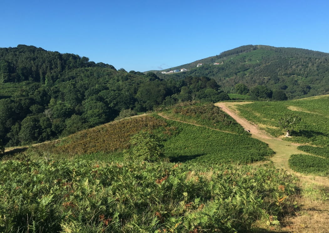
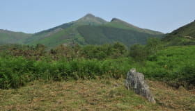
If the old oak of the Mulets track could talk, they would have many stories to tell the customs officers! Between Herboure and the Ibardin pass, they have seen dozens of traders and smugglers who used this old path day and night. The mules carried heavy loads on their back, the men were careful to avoid the controls. The route starts halfway up the Ibardin pass and, after enjoying the wide views of the coastline from the Aire Leku plateau, it winds its way through groves and clearings to find the start of the Mulets track. Head for the Ibardin pass, along a path, sheltered from view and the summer heat under the foliage of the Andureta valley. An original way to reach the Ibardin pass on foot, and why not do some shopping there.
Documents
Dokumentuak
Informations
Practical
Practical information
-
Start : URRUGNE
-
Positive elevation : +420m
-
Marking : Yellow
-
Equipements et services : Power Point (supermarket, restaurants)
- Distance8.8km
- Mobilityon foot
- Duration3h
- DifficultyEasy
Itinerary details
Ibilbideari buruzko xehetasunak
-
 From the Abeilles pass to Aire Leku wood
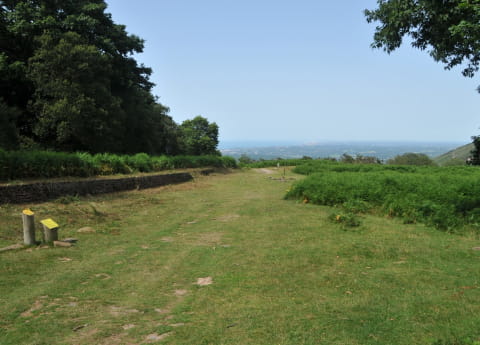
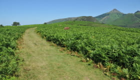
At the Abeilles pass (244m), on the left side of the road, choose the path closed to traffic by a barrier (hiking sign). It leaves the forest, reveals the summit of the Rhune and reaches a clear height. Descend 30m to a small grassy pass (266m), then follow the wide path that goes up to the right, through the ferns. Cross the summit plateau of Aire Leku, pass by a ruin, then go down a path that bends to the left. At the intersection of the Y-shaped paths (252m), take care to choose the one on the left, in the woods. At the second Y-shaped intersection, go left again, uphill. At the third one, go down to the right.
-
 From Aire Leku wood to Herboure (D404 road)
At the intersection (215m) with a dirt track, follow it downhill to the right (ignore the side paths). The path curves to the left under a large oak tree (view of the Urrugne neighbourhood); just after a stream, at the Y-shaped intersection, take the path on the right, which descends steeply through the stones. At the entrance of a plateau ant its fern grove, fork left onto a new path (2 dead trees); it is extended by a small path. In the woods, just after the small bridge, take the path that goes up to the left. It then goes between clearings and copses and crosses three new streams. When you reach a fenced-in meadow, follow the path to the left, along the fence.
-
 From Herboure (D404) to the Mokoa pass
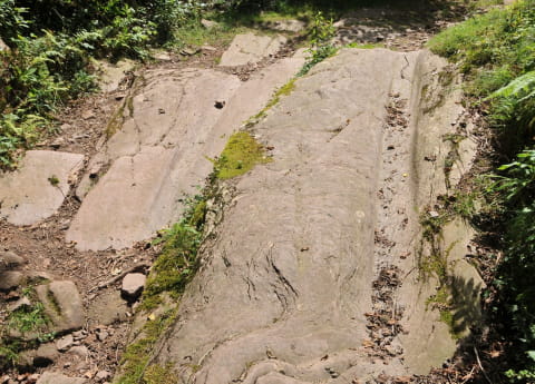
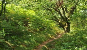
A wider path joins the road of the Ibardin pass (110m): carefully cross the D404 and, behind two large oak trees, take the path down to a stream. Cross the stream; at the small parking lot, look for the start of a small path (gate) on the left. This is the Mule track, which will soon go up the Andureta valley, always keeping to the left side of the stream. Go up through a beautiful oak grove (flat), ideal for a break, then continue to climb on the wide grassy path, which diverges on the left of the valley (ignore a path on the right. At the T-shaped intersection of the six oaks, follow a new path to the right.
-
 From the Mokoa pass to the Ibardin pass
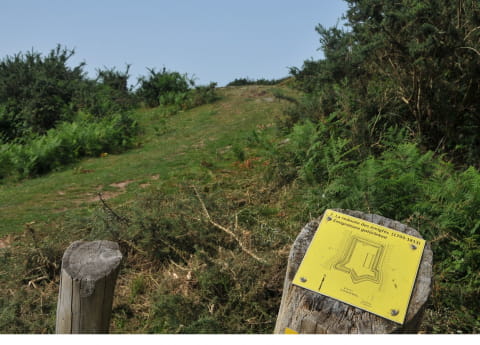
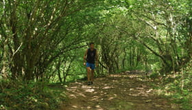
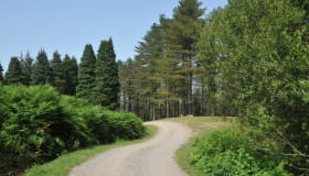
Reach the bend in a wide track (325m), with a view of the Rhune, and follow It to the left. It runs almost horizontally, through the forests, with a few viewpoints and then later passes under the ventas of the Ibardin pass. At the end of the track, cross a parking lot on the left and go down the road to the Ibardin pass. At the pass’ small roundabout (benta Gorria), walk along the road to the left for 50m (towards Urrugne), until you see the small “Lapurdi” sign.
-
 From the Ibardin pass to the Abeilles Pass
At the « Lapurdi » sign (315m), leave the tarmac road to climb the dirt track to the right, marked in red and white. When the path bumps against a gate, go up the very steep grassy path on the right along the fence, then in the ferns. Reach a grassy pass (385m), with a view of the Ibardin pass on the right and the Rhune on the left (the first path on the left allows a round trip to the Redoute des Emigrés). Continue 30m to an intersection of 5 paths: take the second path on the left, downhill (Biarritz in view). Go through an esplanade (quarrymen’s quay) and then, after the collapsed dolmen, continue downhill into the forest. At the bottom, after the barrier, take the left-hand path until you return to the starting point.