Ibanteli - Trail
Loop, Trail-running


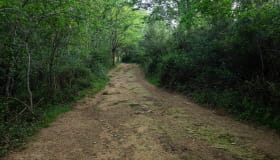
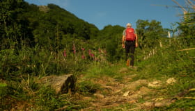
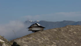
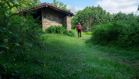
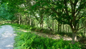
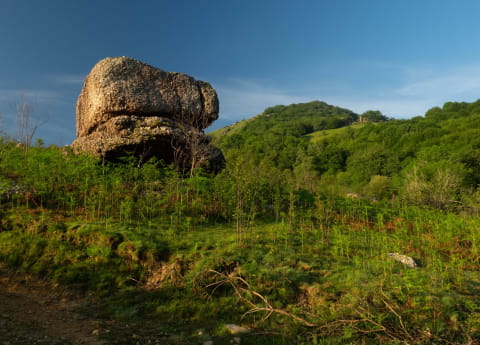
Starting from refreshing streams, a warm-up through chestnut and oak groves will gradually reveal the reverse side of the Rhune, dominating the fog sheets illuminated by the first rays of the sun. After skirting a small canal, the route rises up into the open, giving a wider view of the hillsides. The slope becomes steeper along the edge, then the border, before levelling out on a wide and beautiful lawn. It is then time to climb the last slopes that lead to the summit of Ibanteli. This summit offers a breathtaking 360° view of the Basque countryside, the ocean, the Rhune, the Ibardin pass, the Peñas de Hayas and to the east, the Pyrenees and Atxuria. In this direction you can also see the Lizarrieta border pass, which may be waiting for you for a refreshing break or a typical and hearty lunch..
Informations
Practical
Practical information
-
Start : SARE
-
Positive elevation : +600m
-
Marking : Yellow
-
Equipements et services : Power Point (supermarket, restaurants)
- Distance9.8km
- Mobilityon foot
- Duration2h
- DifficultyAverage
Itinerary details
Ibilbideari buruzko xehetasunak